Navigating BIM in 2025: The Essential CAD Connection
As we progress through 2025, BIM continues its ascent as a central force in the AEC industry, with a growing emphasis on its role in driving sustainability and efficiency in construction. Providing accurate geospatial data for these complex digital models remains heavily reliant on the pivotal role of CAD software.
Try a fully functional 30-day license of MicroSurvey CAD today.

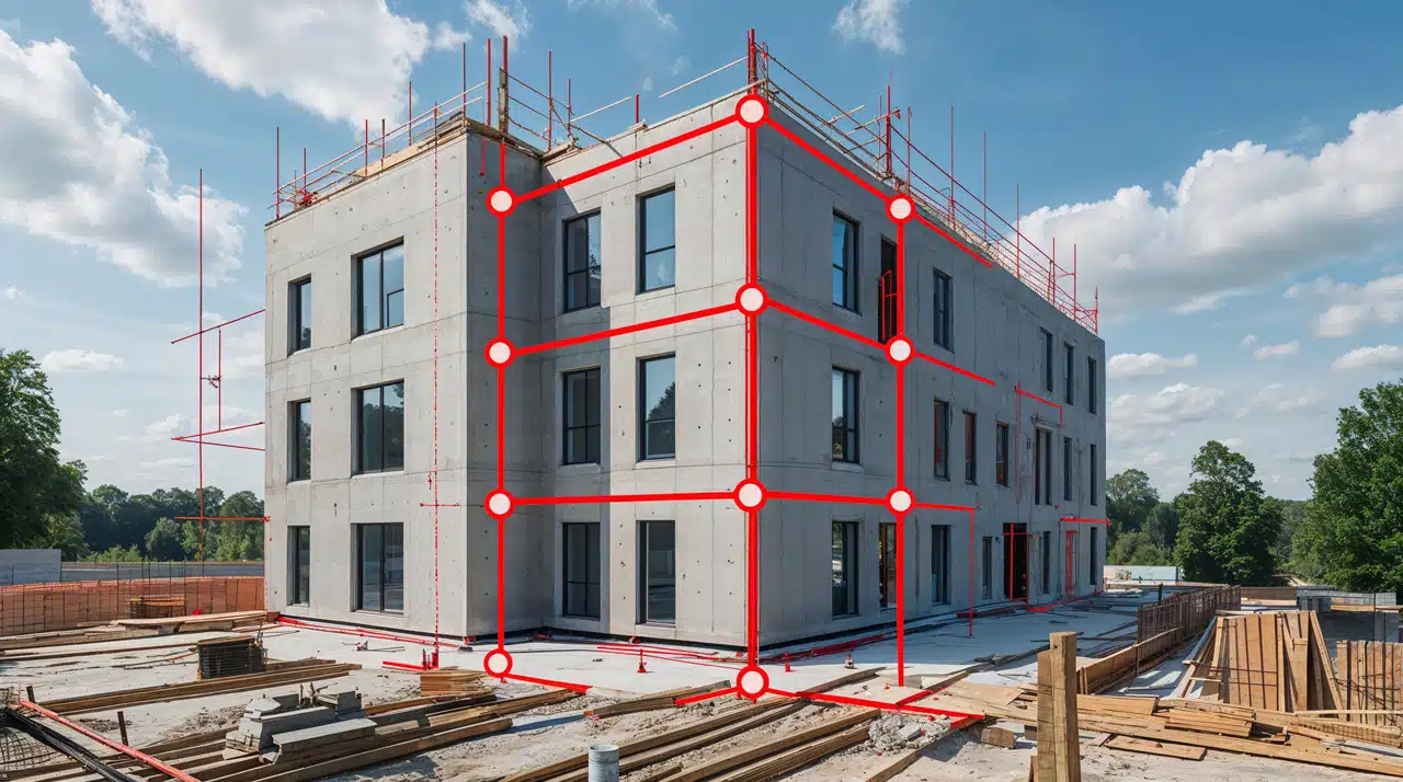
Think about the essential tasks for surveyors: creating precise as-builts, detailed existing condition models, and reliable topographic data – all often starting in CAD. This includes effectively handling point clouds, which are becoming vital for creating accurate digital twins, and ensuring robust data collaboration across various projects.
Excelling in today’s BIM landscape, with its focus on sustainability and efficient delivery, requires software designed for these workflows. Tools like MicroSurvey CAD, offer robust CAD functionalities that support BIM data exchange and efficient data management. Notably, leveraging the built-in IntelliCAD functionality to directly import IFC models, allowing users to easily access and narrow down the specific information needed.
If you’re looking to optimize your surveying workflows for the ongoing demands of BIM in 2025, particularly in light of the industry’s push towards greater digitalization and the adoption of BIM mandates in various regions, we encourage you to evaluate how your core CAD tools can best support this now-critical integration. Understanding the powerful connection between CAD and BIM is fundamental to success in surveying.